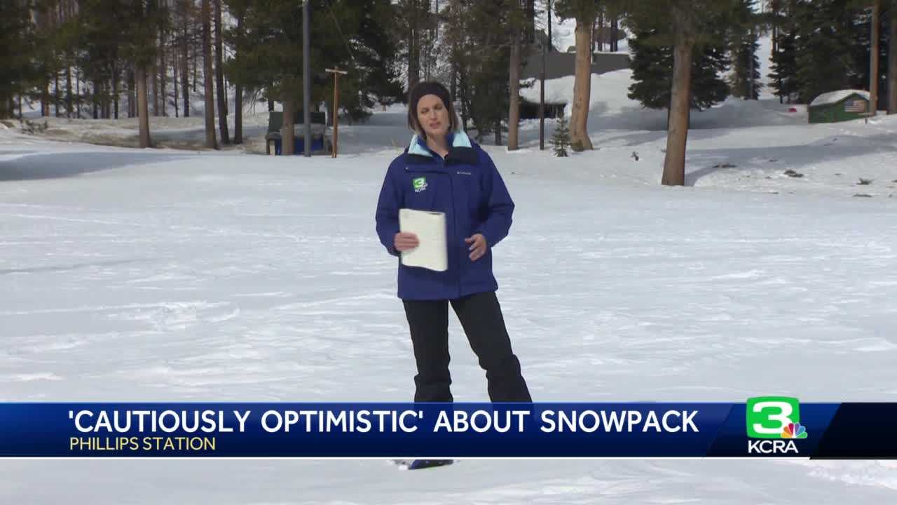
California's Department of Water Resources kicked off February with its second snow survey of the season. Following a very cold and snowy month of January, it comes as no surprise that the statewide snowpack has grown quite a bit. "This is exactly what California needed to start to break away from years of drought," said Karla Nemeth, the director of DWR.
As of Tuesday's readings, the statewide snowpack is at 128% of the April 1 average. DWR uses that specific date as a benchmark for when they expect the snow's water content to be at its highest. One month ago, the snowpack was at 64% of the April 1 average.
A parade of nine storms over the past month has since doubled that number. DWR Snow Survey Manager Sean de Guzman led Wednesday's measurements at Phillips Station off Highway 50. "We're cautiously optimistic knowing how much snow we actually have here today," said de Guzman, "But you know it is only Feb.
1. I like to think of it as we're basically at halftime at this point. " DWR Director Karla Nemeth referenced last year's record-setting January through March snow drought as a reason to proceed with caution when it comes to forecasting the water supply.
"We're standing on top of a lot of snowpack so in all likelihood that's going to bump up, but we just don't know exactly how significantly. And we do need to think about things differently than we used to," Nemeth said. But even during last year's unusually dry winter, the statewide snowpack only fell by 12%.
According to Andrew Schwartz, who manages the UC Berkeley Central Sierra Snow Lab in Soda Springs, much of that depletion came from sunlight, not the air temperature. Schwartz said that given last year's outcome and this year's much better start, the state should be in really good shape as far as snow is concerned. "If we don't get much more snow and our temperatures stay relatively low, we should be able to finish at or above average because of the wonderful snowpack that we already have," Schwartz said.
The Central Sierra Snow Lab reached its average season total snowfall about two months early this year, measuring 360 inches since Oct. 1 this past Sunday. A fresh 3" (7.
5 cm) of new #snow over the last 24 hours takes our season total to 360" (914 cm, 30 feet)! For reference, we average* 360" of snowfall per year and we've made it to that mark with several months left. Now, we need the storm window to stay open. #CAwx #CAwater pic.
twitter. com/W4p0OPh97e This year's inflated snowpack has many wondering about the status of drought in the state. According to Nemeth, DWR defines drought using two main factors: hydrology, which includes rain and snowfall and associated runoff, and water supply availability.
Nemeth said by those guidelines, communities that rely primarily on surface water like reservoirs should be in very good shape this year. As of Tuesday, Lake Oroville was at 65% of capacity, and Lake Shasta was at 56%. "I would expect we're going to come out of drought in the same way [we went in]," Nemeth said.
"We'll have individual counties where we lift the [drought] emergency, but we'll have counties that stay under a drought emergency for a while yet. " Counties that remain in a drought emergency will largely be in the Central Valley, where communities and water districts rely heavily on groundwater supply. Decades of poor groundwater management combined with prolonged drought have left those aquifers severely depleted.
"It is going to be really important to do everything we can to recharge the groundwater basins. Especially when we have these significant excess conditions," says Nemeth. Some of that recharge happens naturally, especially during years like this, where snow has so far been abundant.
But with January's storms came a renewed focus for intentional groundwater recharge by diverting water onto farm fields and wildlands. Nemeth said it will realistically take years of responsible groundwater practices, combined with more productive wet seasons, to truly eradicate drought in those areas. DWR scientists will use Wednesday's snow survey results combined with data gathered by the department's Airborne Snow Observatory to reevaluate the state's expected water supply.
Any adjustments to water storage and deliveries would likely be made by the end of the month. .

